Sand Hills, west of Summerville in Augusta, is zoned for Westside High and spans ZIPs 30904 and 30909, with typical values of $162,576 and $266,629.
Last checked Oct. 6, 2026. Sources: Augusta’s GIS neighborhoods layer and National Register districts layer, the city’s 2023 comprehensive plan and Big Oak Park page, the Richmond County School System’s School Zone and Bus Stop Locator, the state’s 2025 School Grades data, Zillow Research, Augusta Transit’s route data and OpenStreetMap.
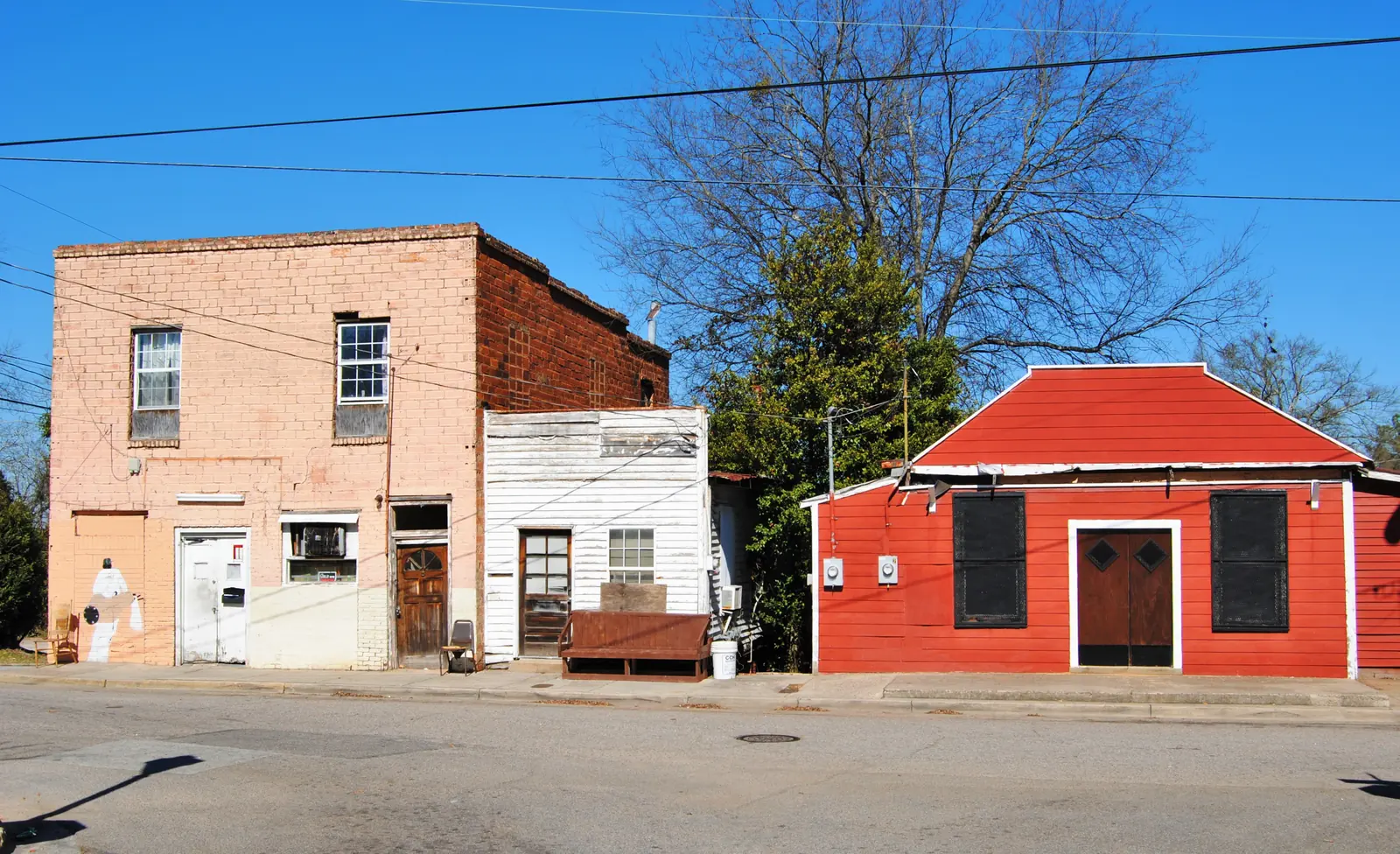
Sand Hills is a small neighborhood west of Summerville, near Wheeler Road and Walton Way. The city’s 2023 comprehensive plan names it as one of three Augusta neighborhoods, with Laney-Walker and Bethlehem, whose historic buildings were surveyed and listed on the National Register, and the city held community meetings in Sand Hills while it wrote the plan. The city’s neighborhood map draws Sand Hills at about 0.4 square miles.
What this means for you
- Zoned high school: Westside High, for the whole neighborhood. Check one address in the district’s zone locator.
- Home value: $162,576 in ZIP 30904 and $266,629 in ZIP 30909 in August 2026, according to the Zillow Home Value Index.
- Nearest interstate exit: Interstate 20 exit 200 (River Watch Parkway), about 3.8 miles by road.
Part of our Augusta neighborhoods guide.
Where it is
On the city’s map, Sand Hills sits just west of Summerville and north of Forest Hills. About 59% of it is in ZIP code 30904 and 41% in 30909. Almost half of it is inside the Sand Hills Historic District on the National Register, which the National Park Service lists as roughly bounded by Monte Sano and North View avenues, Mount Auburn Street, Johns Road and the Augusta Country Club (National Archives record). Sand Hills is not one of the city’s three local historic districts; a small sliver falls inside the Summerville local district.
Schools
Sand Hills is in the Richmond County School System. Every sample point across the neighborhood returned the same three schools in the district’s zone locator on Oct. 6; scores are 2025 College and Career Ready Performance Index (CCRPI) figures.
| Level | School | Share of area | 2025 CCRPI |
|---|---|---|---|
| High | Westside High, 1002 Patriots Way (report card) | 100% | 54.0 |
| Middle | Langford-Tutt Middle, 495 Boy Scout Road | 100% | 59.4 as Tutt Middle |
| Elementary | Lake Forest Hills Elementary, 3140 Lake Forest Drive (report card) | 100% | 58.1 |
Langford-Tutt Middle is the name the district’s locator now uses for the school at 495 Boy Scout Road; the state’s 2025 report lists Tutt Middle School at that address. More in our schools guide.
Home values
Sand Hills spans two ZIP codes. In August 2026 the typical home value was $162,576 in 30904, up 2.41% from $158,749 a year earlier, and $266,629 in 30909, up 1.89% from $261,677, according to the Zillow Home Value Index. The index is a modeled typical value for the middle third of homes, not a sale price, and both ZIP codes cover far more than Sand Hills. The citywide Augusta figure was $188,114, up 2.38% on the year. More in our home prices guide.
Parks and community buildings
- Big Oak Park, inside the neighborhood. The city’s park page says it was developed as a municipal park in 1979 and 1980, and that its basketball court is named Moore-Avery Court for Augusta players Ricky Moore and Will Avery.
- Sand Hills Community Center, 2540 Wheeler Road, listed among the city’s park facilities.
More in our parks and trails guide.
Getting around
- Augusta Transit: no line runs inside the neighborhood’s boundary, according to the agency’s route data. The Blue line (1, Walton Way) passes about 0.2 miles from its edge and the Green line (5, Washington Road) about 0.7 miles. Route cards are on the routes page.
- Interstates: I-20 exit 200 (River Watch Parkway) is about 3.8 miles by road and exit 199 (Washington Road) about 4.4 miles, numbered as in OpenStreetMap.
- City hall and the airports: about 4.6 miles to the Augusta Municipal Building at 535 Telfair St., 13.7 miles to Augusta Regional Airport and 149 miles to Hartsfield-Jackson Atlanta International Airport. All are distances on the OpenStreetMap road network measured with the OSRM routing engine, not drive times.
Groceries and everyday stores
OpenStreetMap lists no supermarket or pharmacy inside Sand Hills or within half a mile of it. The nearest supermarkets it lists are Food Lion, 2803 Wrightsboro Road, about 1.7 miles by road, and Publix, 2816 Washington Road, about 2.1 miles.
HOAs
The city’s neighborhood map and comprehensive plan do not list homeowners associations, so this page does not either.
Who serves Sand Hills
The Richmond County Sheriff’s Office patrols all of Augusta, the Augusta Fire Department answers fire calls, and Environmental Services runs trash pickup; see our trash and recycling guide. Tax rates are in our property tax guide.
Frequently asked questions
What schools is Sand Hills in Augusta zoned for?
Lake Forest Hills Elementary, Langford-Tutt Middle and Westside High, for the whole neighborhood, according to the Richmond County School System’s zone locator.
What ZIP code is Sand Hills in?
It is split between 30904 and 30909. Zillow put the typical home value at $162,576 in 30904 and $266,629 in 30909 in August 2026. Both ZIP codes cover much larger areas than Sand Hills.
Is there a park in Sand Hills?
Yes. Big Oak Park is inside the neighborhood, and the city’s Sand Hills Community Center is at 2540 Wheeler Road. The city says Big Oak Park was developed in 1979 and 1980.
Is Sand Hills a good place to live?
Here are the facts. Sand Hills is a small neighborhood of older streets west of Summerville with Big Oak Park and a city community center. It is zoned for Westside High, which scored 54.0 on the state’s 2025 CCRPI, and it spans ZIP codes 30904 and 30909, where Zillow’s typical values were $162,576 and $266,629 in August 2026.
Have your say